

Posts with tag 'Why We Love Central Oregon'
Subscribe and receive email notifications of new blog posts.
 RSS Feed
16
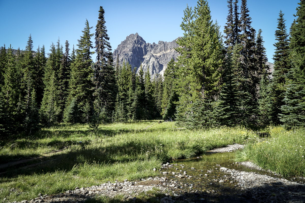
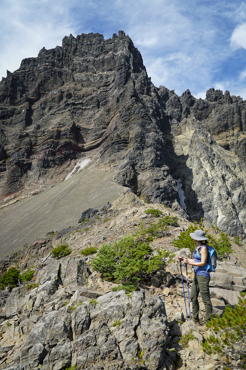
Three Fingered Jack Hike From Jack Lake Trailhead a Great Mid Summer Trek
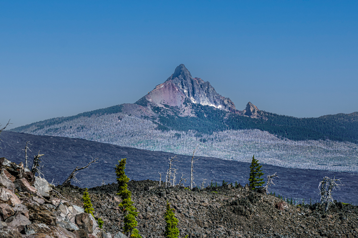
We hike Three Fingered Jack yearly and always enjoy our experience. Our 2023 hike was no exception and the air was clear, a challenge this summer with the smoke from the Bedrock fire near Eugene coming and going for weeks.
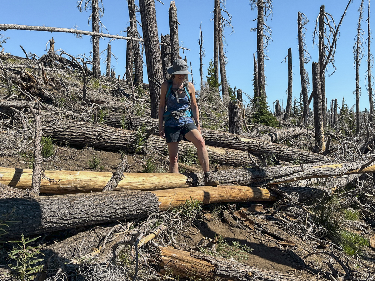
The Canyon Meadow/Three Fingered Jack hike is one of our less strenuous summer hikes, the entire route taking less than 8 miles with roughly 1700 feet of elevation gain. Traveling through the forest recovering from the 2003 B&B fire, it is nice to see the growth of new vegetation and young trees, and it was easy to sample huckleberries growing along the path. Once you enter unburned forest, it isn't far until hikers reach Canyon Meadow with its green grass, wildflowers, and views of Three Fingered Jack. The "unmaintained" spur path to the mountain had a number of fallen trees to traverse, but past that it was easy to reach the base of the moraine which holds the blue glacial lake.
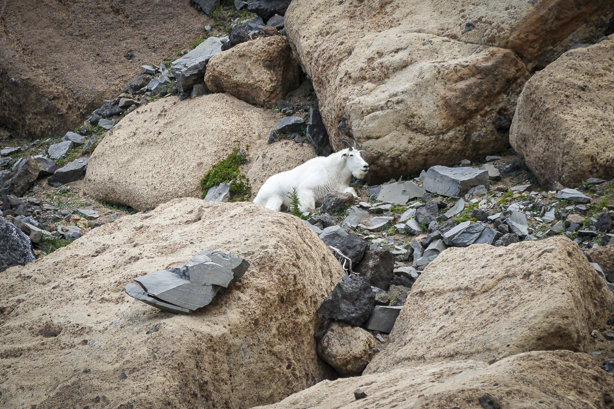
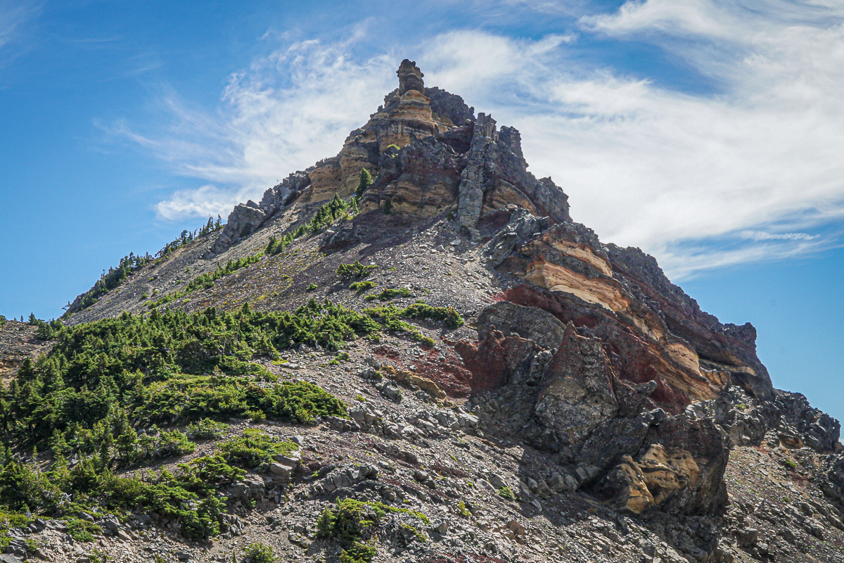
It is harder to scramble up the loose rock of the moraine (going down you have to be careful), but we always do this and reach the saddle between Three Fingered Jack and a nearby peak which we have nicknamed "Dragon Mountain". From there, stunning views of the Three Sisters, Broken Top and Mt Bachelor can be seen. Looking the other way, views of Mt Jefferson can't be missed. During this trip, we also saw a nearby mountain goat; these goats were reintroduced to the Mt. Jefferson Wilderness around Three Fingered Jack in 2010 and have grown in number.
 |
 |
 |
 |
4
Mt. Hood's Clear Lake Hike Worth the Trip
Mt Hood's Clear Lake a Popular Destination
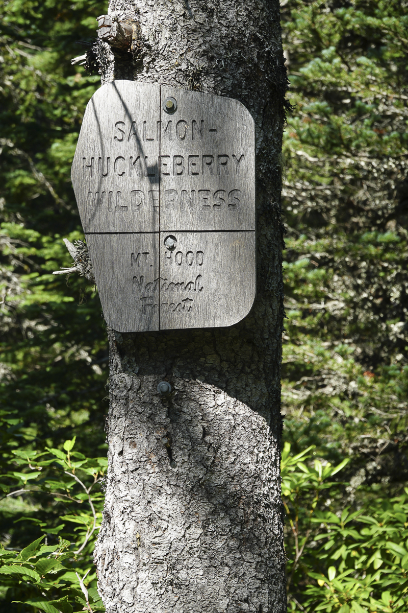
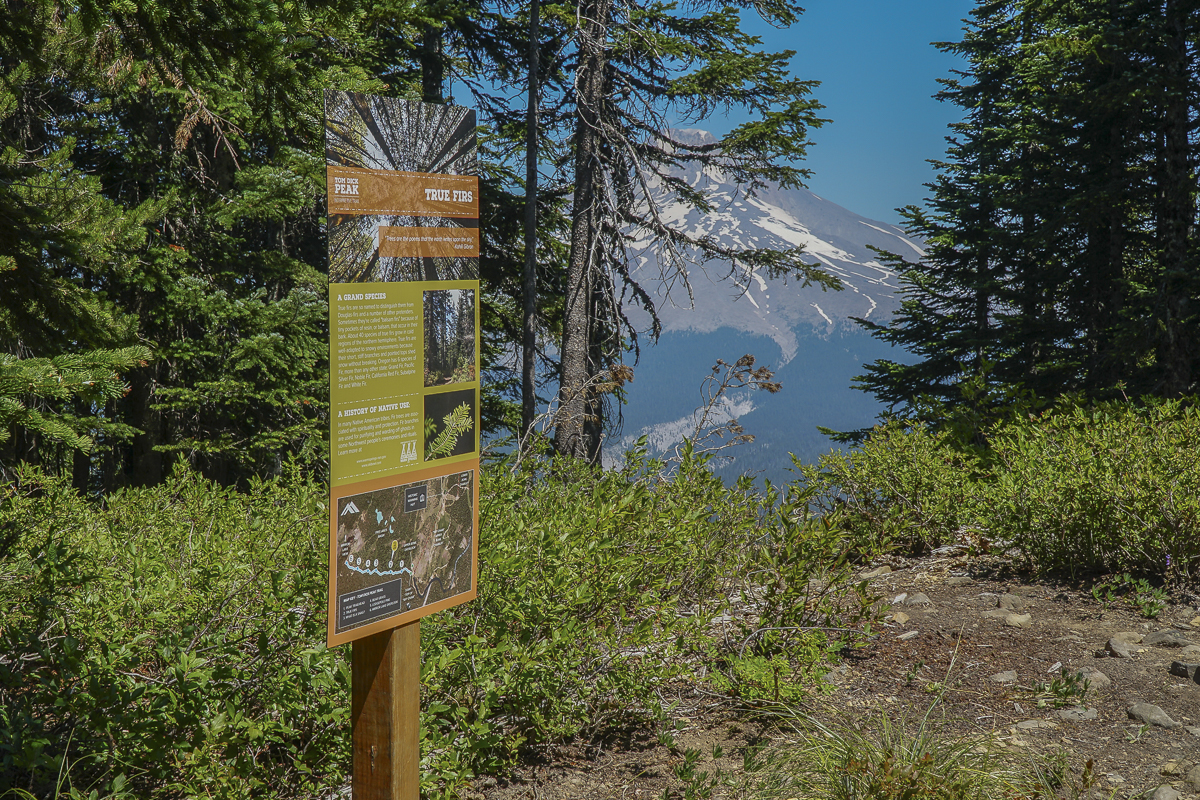
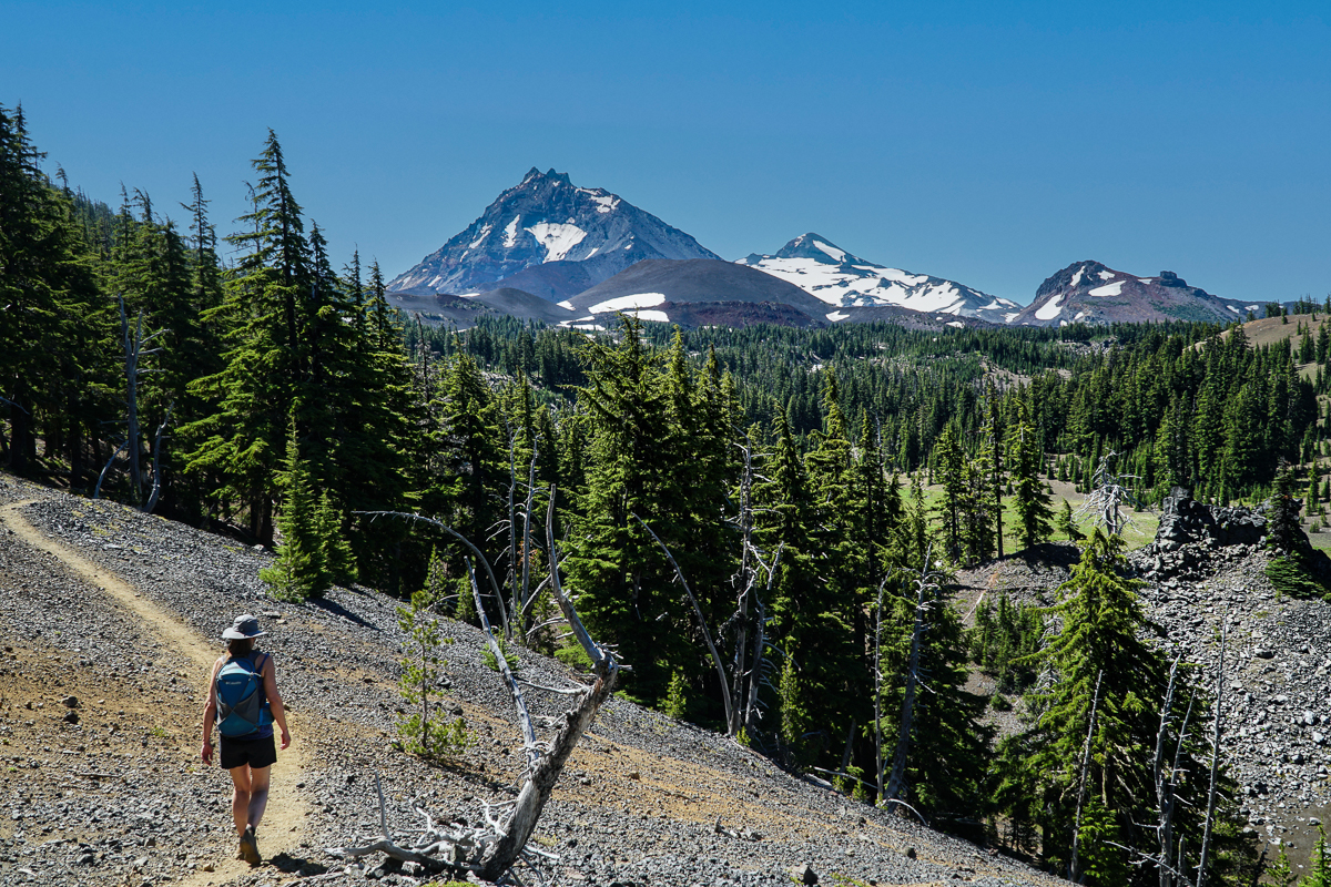
With the recent heavy smoke Central Oregon has been experiencing from the Bedrock Fire, we expanded our hiking locations to include the Mt. Hood area. Last Saturday we enjoyed the hike to Clear Lake, a popular hike located just off Hwy 26 by Skibowl in the Mt Hood National Forest. We started our hike just after 9:00 am after our two hour drive from Bend, and found the parking lot practically full. The hike to Clear Lake was well marked and typically is an easy to moderate in and out loop trail around the lake with roughly 300 feet of elevation gain. 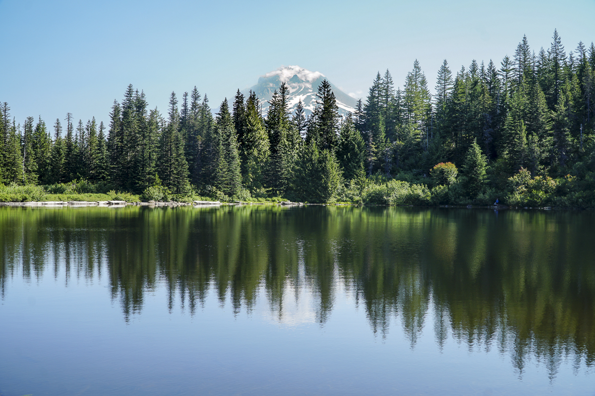 However, past the lake, which has lovely views of Mt. Hood on a clear day, there is an option to hike up Tom, Dick and Harry Mountain in the Salmon - Huckleberry Wilderness, a trip that provides for over 1700 feet of elevation gain and lengthens the total hike to over 8 miles.
Upon reaching the rock filled overlook, we continued on another 1/2 mile to the actual summit on Tom Dick Peak, which we discovered is part of SkiBowl recreation area, clearly not part of the Salmon-Huckleberry Wilderness. Our GPS showed an option to hike down through the ski area, which we did. This involved traversing several diamond runs and connecting with the unused mountain bike trail. Our hike down to the Skibowl buildings by the parking lot was extremely steep and what took over 4.5 miles to gain in elevation we lost in just over 1 mile. We do not recommend this route for most people. However, it was a beautiful day with wonderful views of Mt Hood and a pleasure to be out of smokey Central Oregon.
 |
|
24
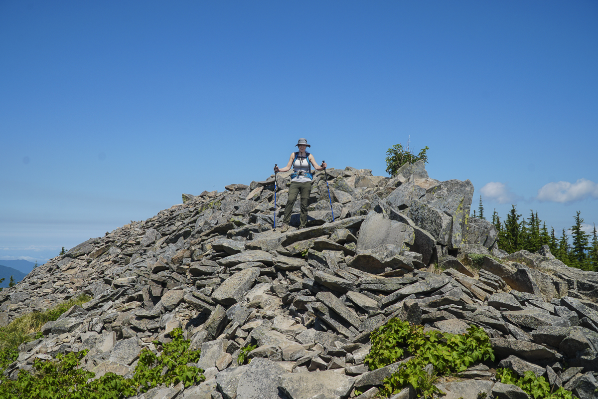
Camp Lake is a Challenging Hike in the Three Sisters Wilderness
We have hiked to Camp Lake annually over the past few years. We have always appreciated the beauty of the area with North, Middle, and South Sister as well as Broken Top dominating the skyline. However, the hike to the beauty was especially hard this year due to the heat of the July weather and the large number of fallen trees which needed to be maneuvered around.
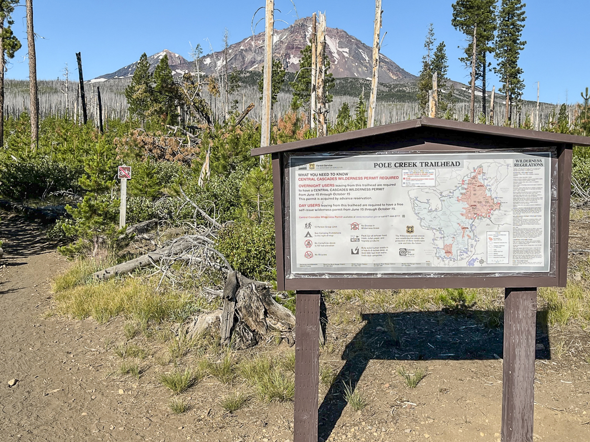
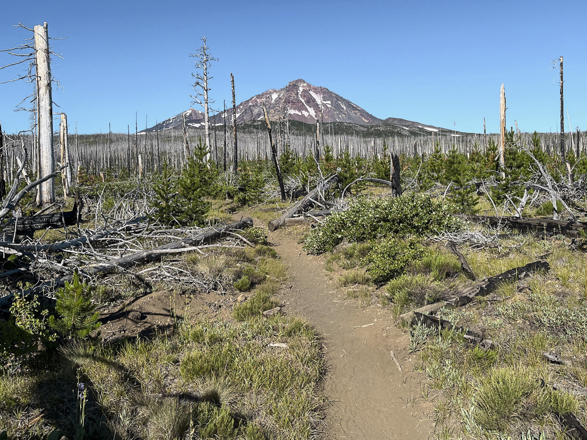
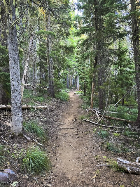
We arrived at the Pole Creek Trailhead, off forest service road 15, early in the day and started the hike in the relatively cool temperature of early morning. The first 4 miles of the hike are through the burned trees of the Pole Creek fire from 2012. The first 2 miles of this dry, dusty trail were cleared from the fallen trees, but once we turned off the main trail onto the trek toward Camp Lake, the blow down was significant. We had to step over, around and on top of many fallen trees, some of which required leaving the trail altogether and potentially losing the way. In situations like this, we rely on GPS. Once reaching unburned forest, the hike is much more pleasant with shade and views of the Three Sisters becoming even better as we gained elevation.
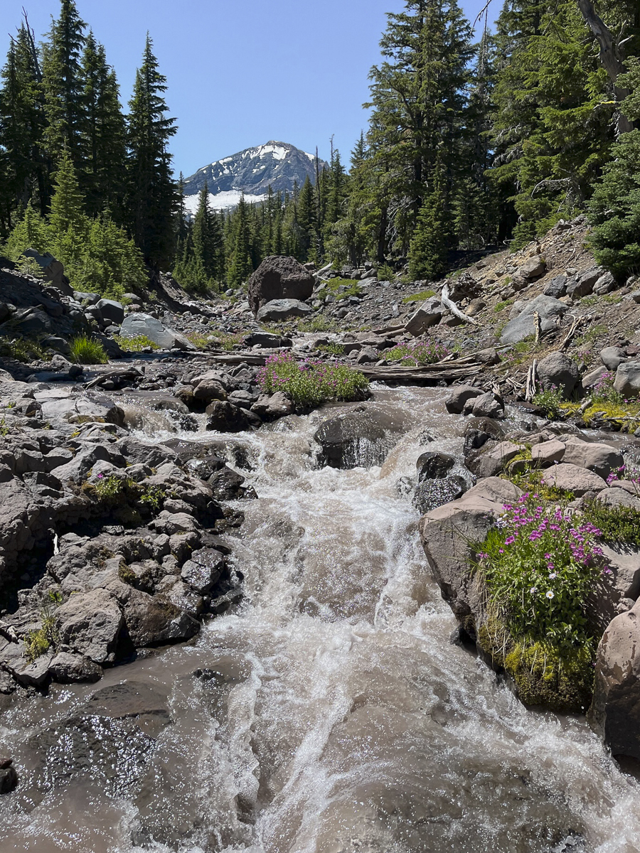 The crossing at the North Fork of Whychus Creek was challenging this year, however, with more water flowing from Diller Glacier than we had experienced in past years. We crossed upstream of the normal crossing in order to find a safe spot that would keep our feet dry.
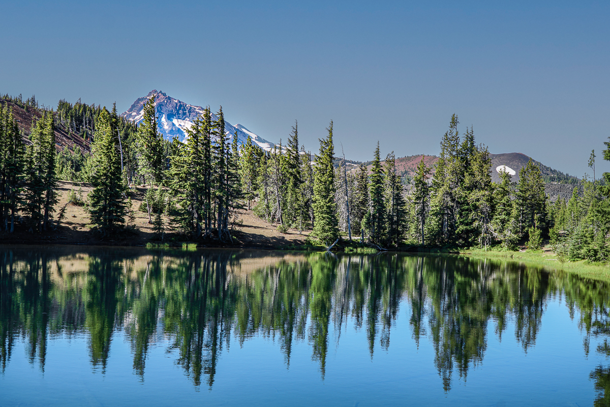
The last few miles to Camp Lake are wonderful. Hikers feel as if they are surrounded, at least 2/3rds of the way, by the towering Three Sisters with Broken Top just over a ridge to the east. The mountains are so close it seems as if it would be a fairly easy jaunt to hike at least the lower shoulders of each of the Sisters. The air was clear and the views spectacular. Once we reached Camp Lake, we sat at the end of the water enjoying the reflection of South Sister in the clear lake water as we ate our lunch. Our stop was not long enough, but we had to return back to our car. The few people we met on the trail were backpacking and would spend the night, not doing the roughly 15 miles we did in one day. We gained around 2000 feet of elevation during the entire hike, but despite the challening path with the multitude of obstacles to get around, the experience was well worth it.
 |
 |
 |
 |
18
Collier Glacier in the Three Sisters Wilderness is Worth the Hike
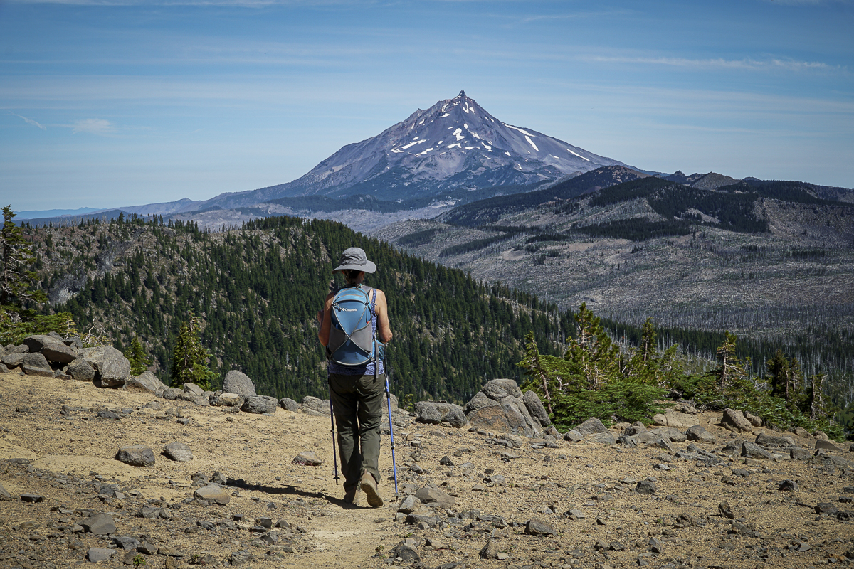
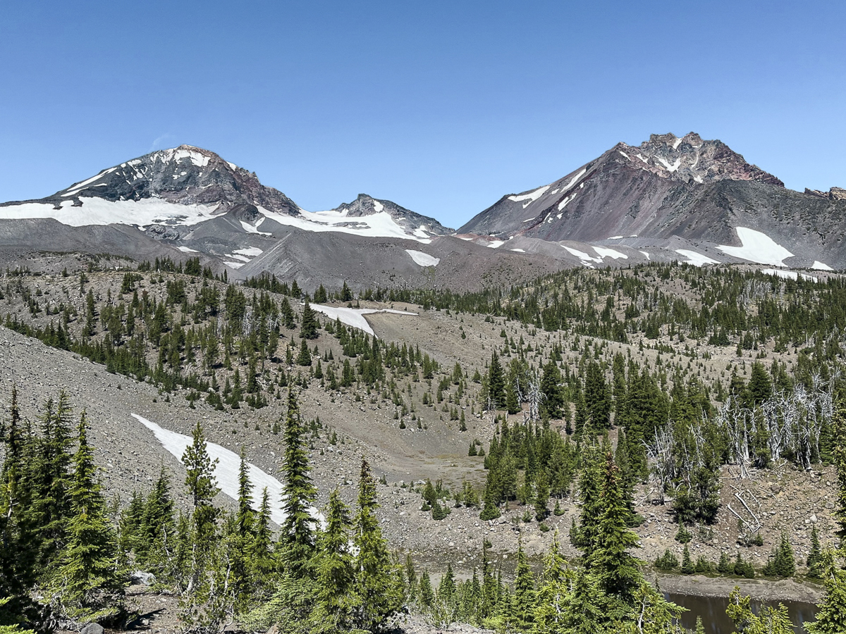
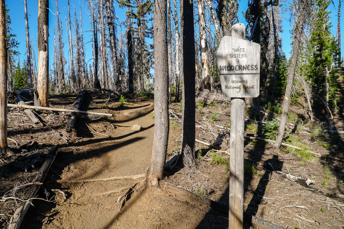
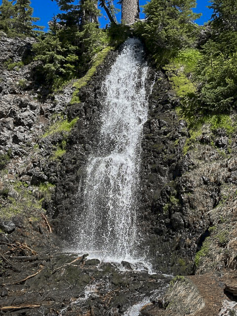
We have hiked in the Three Sisters Wilderness many times and have always enjoyed our experience. However, accessing views of Collier Glacier can be a bit of a challenge. Located in the saddle between North and Middle Sister, Collier Glacier views, on the north edge of Collier Cone, are obtained after a seven and a half mile hike from Lava Camp Lake Trailhead through Matthieu Lakes or the Obsidian Trailhead. While only 1/2 mile off the Pacific Crest Trail, to reach the edge of Collier Cone involves a scramble up a steep pumice hill, but once you arrive, the setting is spectacular with the glacial lake and towering vistas of North and Middle Sister and Little Brother. We hiked this trail 7-15-23 during one of the hottest days of the year. Although we started the hike early, it took almost 8 hours to complete it and much of the trail was exposed to the sun in lava fields or burned forest. However, there were beautiful shaded areas near Matthieu Lakes and our experience was wonderful. We brought a lot of water and enjoyed refilling a water container at Minnie Scott Spring where water can be seen percolating through the small stones. The total hike was over 15 miles and over 2500 feet of elevation gain.
 |
 |
 |
 |
11
The Obsidian Trail in the Three Sisters Wilderness is Open
The Obsidian Trail in the Three Sisters Wilderness is Available by Permit Only
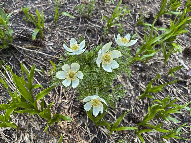
We have hiked the Obsidian Trail several time over the past few years, but the hike done July 2, 2023 was extra special. Late snow has delayed access to the high Cascades and we found patches of snow on our hike. However, these were easily traversed with trekking poles. The 11.5 mile loop connects with the Pacific Crest Trail for several miles and at the peak of the elevation, hikers walk by and on glaciated obsidian which sparkles in the sunlight. Photos do not properly reflect the actual experience of the glittering rock. The hike also passes through high alpine meadows, which had wildflowers blooming, and several shallow creeks to cross. Obsidian Falls can be a great rest stop, but our favorite lunch spot is in the sun taking in the amazing views of Middle and North Sister as well as Little Brother. All in all, the 11.5 miles gained 2165 feet in elevation and took 5.5 hours of actual walking time. Bring bug spray this time of year as the mosquitos are out.
 |
 |
|
 |
 |


Privacy Policy / DMCA Notice / ADA Accessibility